This year we would like to welcome you at Karabuk University (KBU) for;
4th International Workshop on GeoInformation Science: GeoAdvances 2017
(ISPRS Workshop on Multi-dimensional & Multi-scale Spatial Data Modeling)
The workshop will take place on 14-15 October 2017 at branch campus of KBU in a UNESCO World Heritage City; SAFRANBOLU
The website of workshop:
http://geoadvances.o rg/
http://geoadvances.o rg/
The topics of the workshop cover major GeoInformation Science
including (but are not limited to):
including (but are not limited to):
- Multi-dimensional & Multi-scale Spatial Data Modeling
- GIS
- Location Based Services
- Geomatics
- Modern Cadastre and 3D GeoInformation
- Remote Sensing
- Photogrammetry
- IoT – Internet of Things technologies, GeoInformation for Mobile, Wearable Tecnologies and Wireless Sensor Networks
All submitted manuscripts will be subject to the blind peer review
process. The accepted papers will be included open access SCOPUS
Indexed ISPRS
Archives.
Important dates
-
Full paper / Extended abstract submission: 5 August 2017
-
Notification of acceptance: 25 August 2017
-
Camera ready paper submission: 15 September 2017
-
Workshop: 14-15 October 2017
Registration
Normal: 100 USD / Student: 60 USD
Registration for participants includes Admission to the All Sessions,
Lunch, Gala Dinner, City Tour, Coffee and Refreshments, Publication Fee
(for one paper), and Conference Bag (program, brochure, souvenir, etc).
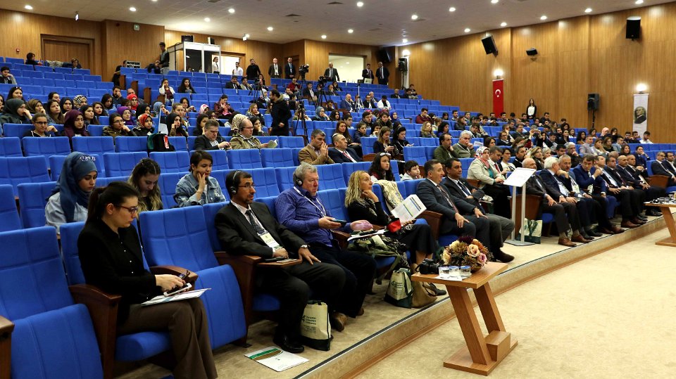
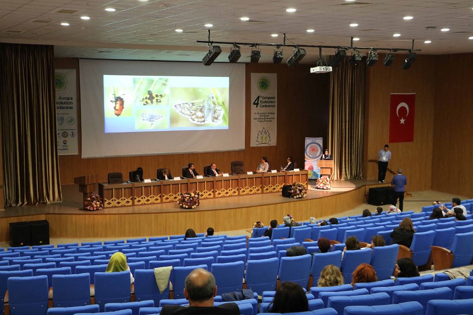
Confirmed Keynote Speakers
Keynote 1
Filip Biljecki , Delft University of Technology (TU Delft), Netherlands
Filip Biljecki , Delft University of Technology (TU Delft), Netherlands
"Level of Detail in 3D City Models"

Keynote 2
Alias Abdul-Rahman ,
Universiti Teknologi Malaysia.
"Innovations in 3D Geo Information Systems"
Alias Abdul-Rahman ,
Universiti Teknologi Malaysia.
"Innovations in 3D Geo Information Systems"

Keynote 3
Sedat Bakıcı , Head of Geomatics Department, General Directorate of Land Registry and Cadastre in Turkey
Sedat Bakıcı , Head of Geomatics Department, General Directorate of Land Registry and Cadastre in Turkey
"SDI in Turkey and Extended Spatial Projects in Fraternal Countries by Turkish Government"

Keynote 4
Ihab Hamzi Hijazi , Technical University of Munich and An-Najah National University, Palestine
"Cities and Information Architecture: Stocks and Flows and 3D City Models"

One Day Tutorials
Ümit Atila: "Network Analyses Applications with Oracle Spatial"
Yasin Ortakcı: "Android Apps with Google Maps API"
İdris Kahraman: "Photo-Realistic Modelling of Buildings and Integration with GoogleEarth"
Ümit Atila: "Network Analyses Applications with Oracle Spatial"
Yasin Ortakcı: "Android Apps with Google Maps API"
İdris Kahraman: "Photo-Realistic Modelling of Buildings and Integration with GoogleEarth"
In the UNESCO World Heritage City:
SAFRANBOLU
Safranbolu is a district of Karabük Province in the Black Sea region of Turkey. It is just 7 kilometers
to Karabük Centrum. It is about two hundred kilometers north of Ankara.
Former Turkish names of the town were
Zalifre and Taraklıborlu and in Greek Saframpolis. The Old Town
preserves many old buildings, with 1008 registered historical artifacts.
These are: 1 private museum, 25 mosques, 5 tombs, 8 historical
fountains, 5 Turkish baths, 3 caravanserais, 1 historical
clock tower, 1 sundial and hundreds of houses and mansions. Also there
are mounds of ancient settlements, rock tombs and historical bridges.
Safranbolu was added to the list of UNESCO WORLD HERITAGE sites in 1994 due to its well-preserved
Ottoman era houses and architecture.


City Tour
On 16 April 2017 (Monday), a city tour will be organized. These places could be seen (in time limit):
• Karabuk University Campus • Bulak Mencilis Cave • Incekaya Aqueduct • Cristal Terrace • Old Prison • Clock Tower • City History Museum • Old Government Building • Cinci Han • Cinci Bath • Yemeniciler Guild Bazaar • Blacksmiths Guild Bazaar • Koprulu Mehmet Pasha Mosque • Izzet Mehmet Pasha Mosque • Shopping and free time
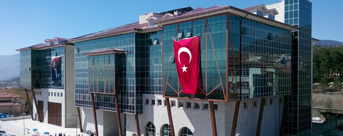
Venue
Karabük University, Safranbolu Campus, Conference Halls
Yenimahalle, Prof. Metin Sözen Cad., 78600 Safranbolu-Karabük, Turkey


Yenimahalle, Prof. Metin Sözen Cad., 78600 Safranbolu-Karabük, Turkey
Looking forward to seeing you
We welcome you all to take part in this event by sharing with us your expertise
for GeoInformation Science.
Hope to see you in fantastic city Safranbolu...

Hiç yorum yok:
Yorum Gönder